Did you know about the Travel Time feature on Google Maps?
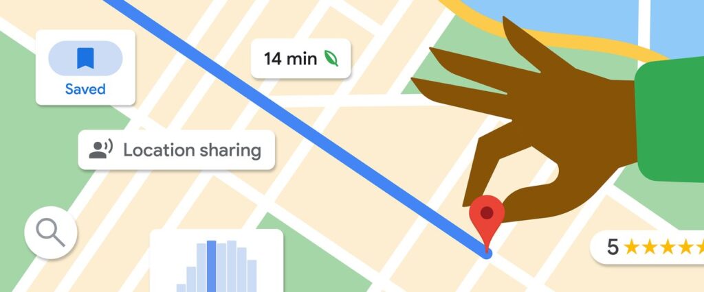
Google Maps offers a hidden gem called Travel Time, which lets you visualize how far you can travel within a set period. Currently available only on the web version, this tool is great for planning your trips, whether you’re walking or driving. Unfortunately, it’s not yet available for cycling or public transportation.
Here’s how to enable and use Travel Time:
- Enable Travel Time:
- Open Google Maps on your web browser.
- Hover over the bottom-left Layers icon to open a menu.
- Click “More” and select “Travel Time” under Map Tools.
- A new panel will appear at the bottom-center of the screen, allowing you to select your travel method and time limit.
- Using Travel Time:
- Set your starting location by clicking on the map.
- Choose a time limit for walking (15 or 30 minutes) or driving (15 minutes to 6 hours).
- The map will display a shaded area representing the distance you can travel within the chosen time.
Limitations:
- Travel Time doesn’t account for traffic, so the estimates may vary during peak hours or due to accidents.
- Not all locations have Travel Time data, and availability differs between walking and driving.
Despite these limitations, the Travel Time feature is a fun and practical tool for exploring how far you can go within a given timeframe.


